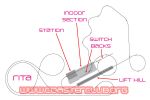
A drawing of SW6's layout, by a member of the ECC.
|
|
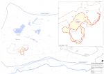
A plan of the Alton Towers Resort, showing the area occupied by the proposed roller coaster.
|
|
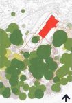
A location plan confirming the ride layout.
|
|
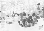
This plan shows where SW6 lies in relation to Ug Land and Cred Street.
|
|
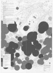
Corkscrew and the woodland behind it, as it was in 2008.
|
|
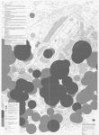
A detailed look at the layout of the new coaster.
|
|
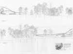
A look in profile from directions AA and BB, as it was in 2008.
|
|
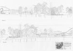
A look in profile from directions AA and BB, as it will be in 2010.
|
|
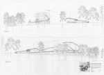
A look in profile from directions CC and DD, as it was in 2008.
|
|
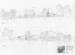
A look in profile from directions CC and DD, as it will be in 2010.
|
|
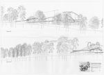
A look in profile from directions EE and FF, as it was in 2008.
|
|
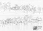
A look in profile from directions EE and FF, as it will be in 2010.
|
|
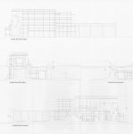
The structure of the coaster's station building.
|
|

A visual of the station building, showing a "dilapidated castle" theme.
|
|

The station in "roof view" - showing how most of the platform will, unlike Rita, be under cover.
|
|

The station platform layout. Note the bridge that takes you over the track before boarding.
|
|
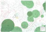
The far end of Ug Land as it was in 2008, with SW6's proposed queue line overlaid.
|
|
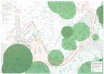
The new queue line, which follows a similar path to the old Corkscrew queue. It employs a similar "cattle pen" style layout as Rita's queue line.
|
|
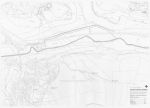
This plan shows 5 "view" locations, which are demonstrated in the following images.
|
|
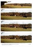
How SW6 will look from Location A.
|
|
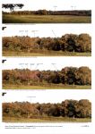
How SW6 will look from Location B.
|
|
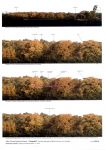
How SW6 will look from Location C.
|
|
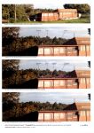
How SW6 will look from Location D.
|
|
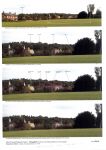
How SW6 will look from Location E.
|
|
|
|


